

Flight1 app for iPhone and iPad
Skycatch Drone Mission Planner
Flight1 is a robust, multifunctional drone mission planning app from Skycatch. The autonomous flight app works with Skycatch Explore1, DJI P4, P4P, P4RTK and M210RTK drones. The app automates aerial mapping from takeoff to landing and allows you to customize your flight settings to ensure you capture the exact images you need.
Flight1 app functionality includes:
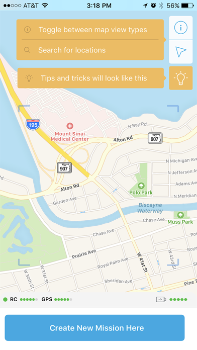
Select your area of interest on the satellite maps or import custom base maps
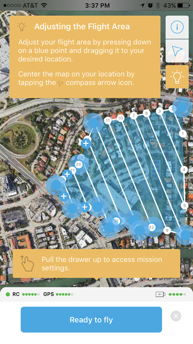
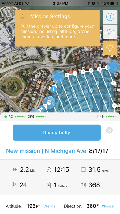
Automatically generate a flight plan with optimal waypoints, speed, and overlap for the altitude and resolution you choose.
Control the direction/heading of the flight path depending on wind, terrain and other obstacles.
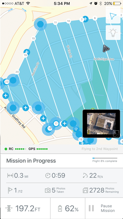
If you need to stop your flight for whatever reason (including a drone battery swap), you can resume right where you left off.
Mission plans are saved automatically for recurring data capture on your sites.
When used as part of the High Precision Package (HPP) for Mining from Skycatch, your geotagged drone images are processed in the cloud (or on site with Skycatch Edge1) and turned into orthomaps, point clouds, 3D mesh and DTMs. Measure, overlay, markup, analyze and share your processed data using Skycatch Data Hub or any software that uses point clouds.